 Space Hub
NavIC
🇮🇳 Indigenous Indian TechnologyNavigation with Indian Constellation (IRNSS), providing highly accurate positioning services across India.
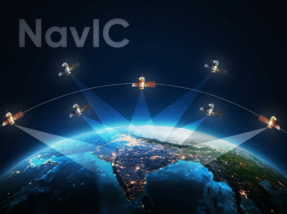
NavIC (Navigation with Indian Constellation) is an independent regional satellite navigation system developed by ISRO. It consists of a constellation of 7 to 8 satellites in geostationary and geosynchronous orbits, providing 24/7 positioning, navigation, and timing services across India and an area extending 1,500 km around its borders.
Quick answer
NavIC is a navigation technology associated with ISRO. Navigation with Indian Constellation (IRNSS), providing highly accurate positioning services across India. Status: operational.
NavIC: key facts
| Category | Navigation |
|---|---|
| Status | Operational |
| Organisation | ISRO |
| Indigenous | Yes |
| First tested | 1 July 2013 |
| Operational since | 12 April 2018 |
External References
Frequently asked questions
What is NavIC?
NavIC is a navigation technology associated with ISRO. Navigation with Indian Constellation (IRNSS), providing highly accurate positioning services across India. Status: operational.
Who developed NavIC?
ISRO is listed as the organisation behind NavIC.
Is NavIC operational?
Indian Space Hub lists its status as "operational".
Since when has NavIC been operational?
It is listed as operational since 12 April 2018.
When was NavIC first tested?
Its first test is listed as 1 July 2013.
Is NavIC indigenous?
Yes, it is listed as an indigenously developed technology.
Developing Organization
ISRO
View organization →